

By Carlos Lagos
Special Opinion and Investigative Analysis for Las2Orillas
1. Main Facts
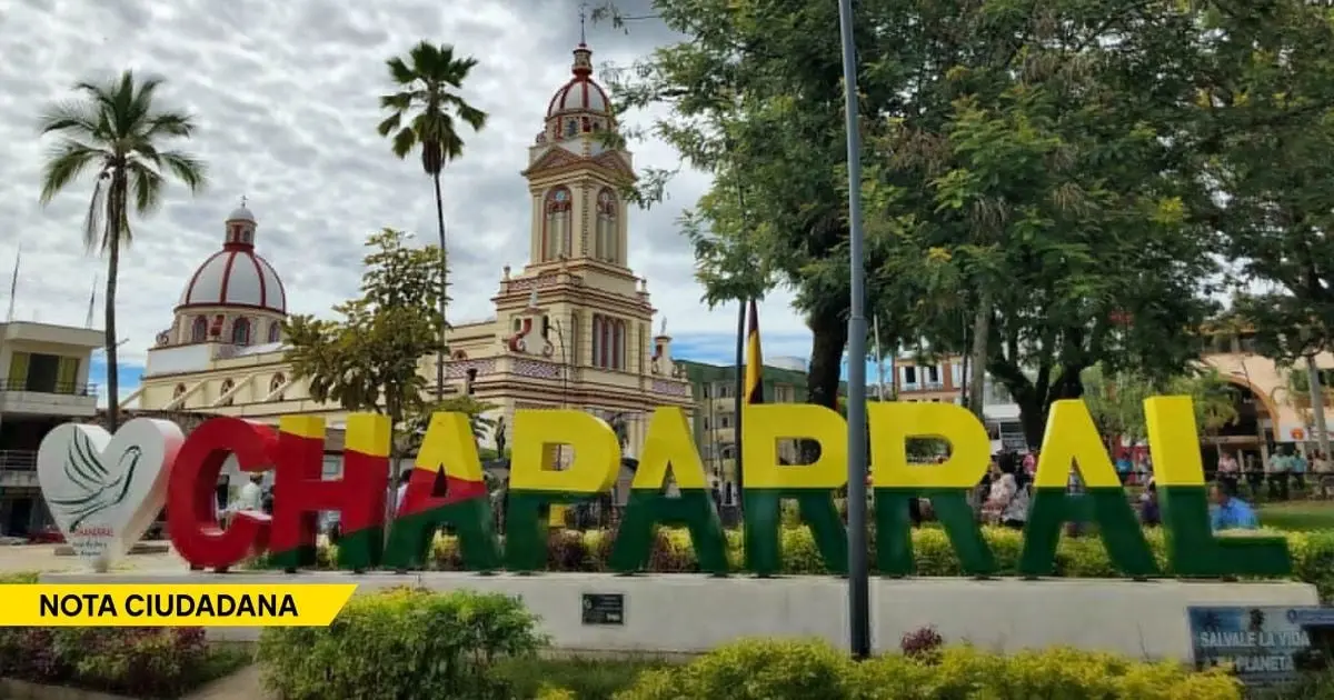
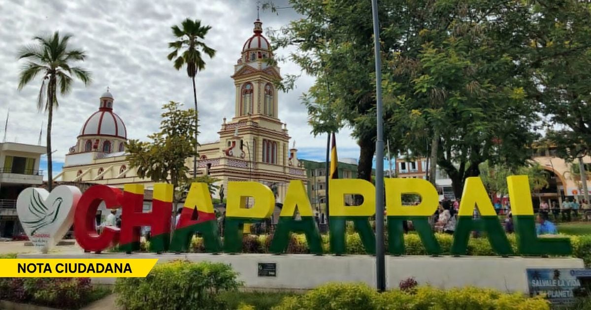
For weeks, the ground beneath the municipality of Chaparral, located in the department of Tolima, Colombia, has maintained an unrelenting dialogue with the surface. Since September 20, the region has been gripped by an intense and persistent seismic swarm, registering well over 600 distinct earth movements. While many of these tremors are minor, micro-seismic events felt only by sensitive instrumentation, a significant number have broken the 4.0 magnitude threshold, sending shockwaves of anxiety through both urban neighborhoods and remote rural settlements.
The sheer frequency and concentration of the seismic activity forced local and national authorities to declare a state of orange alert. This administrative designation is not a prediction of imminent catastrophe, but rather a formal acknowledgement that the ongoing tectonic unrest requires elevated vigilance, mobilized resources, and proactive readiness from every level of government. The Colombian Geological Survey (SGC), the nation’s premier scientific authority on seismic and volcanic hazards, has dramatically reinforced its monitoring apparatus in the region, deploying specialized technical teams and real-time telemetry equipment to decode the subterranean mechanics driving the swarm.
However, as scientists work around the clock to analyze the data, a narrative caution has emerged alongside the technical updates. Public officials, geologists, and civil defense leaders have been unequivocal on one critical point: This is not Armero.
Drawing comparisons to the catastrophic 1985 disaster—where the eruption of the Nevado del Ruiz volcano triggered catastrophic lahars (mudflows) that buried an entire town—is geologically inaccurate. Armero was a volcanic tragedy born of ice, fire, and water. Chaparral, by contrast, is confronting a complex tectonic phenomenon. The ongoing swarm is driven by the interaction of regional fault lines deep within the earth’s crust.
Yet, while the geological triggers are fundamentally different, experts argue that the institutional responsibilities are strikingly parallel. The primary lesson of Armero was not merely about understanding nature’s destructive capacity; it was about the dangerous chasm that often exists between scientific knowledge and state action. In Chaparral, the earth is speaking loudly, and the central question facing Colombia is whether its institutions are truly listening.
2. Chronology of the Seismic Swarm
To understand the gravity of the current situation in Chaparral, one must trace the timeline of the geological events that have unfolded over recent months:
- August 10: A powerful tectonic earthquake of magnitude 7.4 strikes near San José del Palmar in the department of Chocó. While distant from Tolima, this massive release of seismic energy ripples deep through the national territory, fundamentally altering crustal stress fields across multiple fault systems in the Colombian Andes.
- Late August to Mid-September: Geologists note subtle, anomalous micro-seismic shifts in the southern region of Tolima. Local communities report faint rumblings, though little public alarm is raised initially.
- September 20: The seismic swarm officially intensifies. Chaparral experiences a sudden, high-frequency clustering of tremors. Within a matter of days, the cumulative count of recorded movements surpasses hundreds, setting the region on edge.
- Late September: Multiple tremors within the swarm exceed magnitude 4.0, causing noticeable shaking, minor structural concerns in older adobe and brick architecture, and widespread psychological distress among residents.
- Early October: The Colombian Geological Survey formally updates its risk assessments, elevating monitoring protocols and issuing preliminary hypotheses linking the Chaparral swarm to altered stress distribution originating from the August Chocó earthquake. Orange alert protocols are activated, directing local disaster committees to review contingency plans, evacuation routes, and rural connectivity.
3. Supporting Data and Scientific Hypotheses
The mechanics of seismic swarms present unique challenges to seismologists. Unlike a traditional earthquake sequence—which typically features a large mainshock followed by a predictable decay of smaller aftershocks—a swarm consists of a prolonged series of earthquakes of roughly similar magnitudes, with no single dominant event. This makes it extraordinarily difficult to determine whether the activity is building toward a larger tectonic rupture or will eventually dissipate on its own.
The Chocó Connection
The Colombian Geological Survey (SGC) has put forward a compelling, though still preliminary, scientific hypothesis regarding the origin of the Chaparral swarm. Researchers are investigating whether the massive 7.4 magnitude earthquake that struck San José del Palmar, Chocó, on August 10 acted as a distant stress-trigger.
Large tectonic events do not occur in isolation. When a fault ruptures with the power of a 7.4 magnitude quake, it redistributes immense tectonic loads across neighboring and interconnected fault networks hundreds of kilometers away. The SGC’s working hypothesis suggests that this regional stress transfer may have unclamped or reactivated dormant or locked structural faults beneath the Chaparral region, unleashing the current swarm. Ongoing data collection, GPS crustal deformation tracking, and focal mechanism solutions are being utilized to test and refine this model.
The Fallacy of Energy Release
A common misconception among the general public during a seismic swarm is the "safety valve" theory: the belief that hundreds of small tremors are gradually releasing accumulated tectonic energy, thereby eliminating the risk of a massive, destructive earthquake.
From a scientific standpoint, this theory is dangerously false. Seismology operates on a logarithmic scale (specifically the moment magnitude scale), which means the energy released increases exponentially with every fractional increase in magnitude. To equal the energy released by a single moderate-to-large earthquake (such as a 6.0 or 7.0 magnitude event), it would take tens of thousands, or even millions, of micro-tremors. Therefore, a high frequency of small-to-moderate quacks does not guarantee that a larger event is off the table.
As experts emphasize, uncertainty demands vigilance, not speculation. The impossibility of earthquake prediction means that science cannot provide a timeline or a guarantee. It can only delineate probabilities, map vulnerabilities, and monitor changes in real-time.
4. Official Responses and Institutional Preparedness
The physical tremors in Chaparral are matched by a parallel institutional anxiety rooted in Colombia’s painful historical memory. The ghosts of the 1985 Armero tragedy loom large over any discussion of natural hazards in the department of Tolima.

The Lessons of Armero
Before the Nevado del Ruiz erupted and erased Armero from the map, warnings existed. Scientific reports had mapped the volcanic hazards, and researchers had explicitly warned of the catastrophic potential of glacial melting and mudflows. Yet, systemic failures in institutional communication, bureaucratic inertia, and a fatal lack of political will paralyzed the state’s response.
One of the most poignant historical testimonies from that era involves Guillermo Alfonso Jaramillo, then a member of the Chamber of Representatives. Jaramillo later recounted how he personally warned national authorities of the impending danger, going so far as to consult the Minister of Mines and Energy at the time, Iván Duque Escobar (father of the former Colombian president). According to Jaramillo’s historical account, he was assured that there was no cause for alarm and that the situation was entirely under control. Months later, over 20,000 people perished in the mud.
This tragic episode is not cited to draw a false equivalence with Chaparral’s tectonic reality, but rather to underscore a timeless bureaucratic truth: Knowing about a hazard is useless if that knowledge does not compel timely, decisive administrative action.
Current Institutional Action and Gaps
In response to the current orange alert, the National Unit for Disaster Risk Management (UNGRD), alongside the departmental government of Tolima and the municipal administration of Chaparral, has initiated coordinated reviews of emergency protocols. These efforts focus on verifying the operability of local evacuation routes, inspecting designated humanitarian shelters, testing emergency communication channels, and ensuring that local medical facilities possess adequate triage capacities for mass-casualty scenarios.
However, civil defense advocates and regional experts argue that planning on paper is insufficient. Given Chaparral’s rugged topography, rural isolation presents a severe logistical hurdle.
5. Broader Implications: The Rural Threat of Secondary Disasters
While the primary hazard of the seismic swarm is ground shaking, geologists and civil engineers point to a compounding threat that is frequently overlooked in urban-centric emergency planning: slope instability and secondary mass movements.
The Danger of the Slopes
Chaparral is characterized by steep, complex Andean topography. Continuous seismic shaking, even of moderate intensity, systematically weakens and fractures the structural integrity of mountain slopes, loosening soil, rock matrices, and weathered debris.

When these seismic micro-fractures combine with seasonal heavy rainfall—a hallmark of the Andean climate—the risk of catastrophic landslides and mudslides skyrockets. A series of rainfall-triggered mass movements could easily:
- Sever vital rural roads and highway arteries.
- Isolate remote farming villages (veredas) for days or weeks.
- Severely obstruct the deployment of search and rescue teams, ambulances, and emergency relief supplies.
A Call for Proactive Governance
For these reasons, disaster management agencies cannot afford to adopt a reactive posture. Preparing for a potential crisis means deploying heavy machinery for debris removal before landslides block mountain passes. It means establishing decentralized technical camps and medical outposts in high-risk rural areas rather than waiting for bridges to collapse and roads to wash out.
The distinction between a resilient community and a devastated one often hinges on the preemptive actions taken during the quiet hours—or days—that precede a major disaster. Chaparral does not need panic; nor does it need baseless complacency born of institutional denial.
As the earth continues its restless subterranean dialogue beneath Tolima, the ultimate responsibility rests with the state. Nature will produce tectonic forces beyond human control, but the human toll of those forces remains profoundly shaped by political will, scientific literacy, and administrative readiness. When the ground speaks, a responsible nation ensures its institutions are listening.




Leave a Reply